Domestic Weather Operations
CONUS planning weather: surface, radar, satellite, convection, turbulence, and icing.
🗺️ Interactive Weather Map (GFA Observations) →
Live Maps
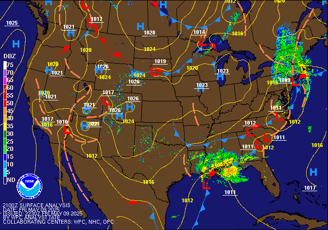
Surface Analysis + RadarSource ↗
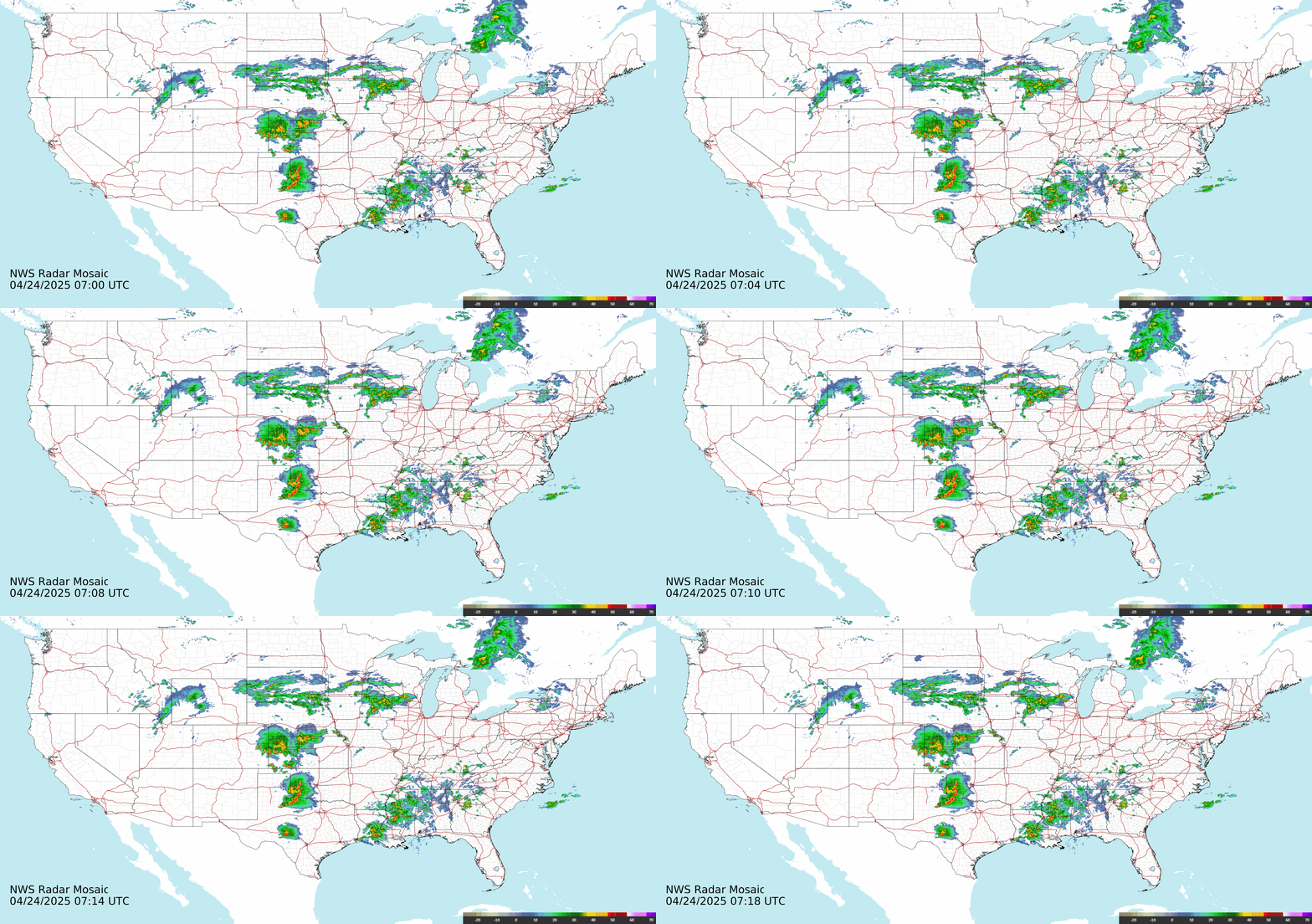
US Radar LoopSource ↗

GOES-East US SatelliteSource ↗
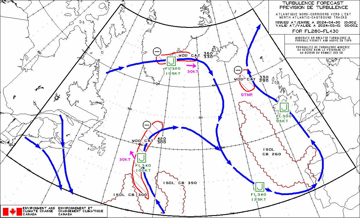
Current Turbulence — Eastern N. AmericaSource ↗
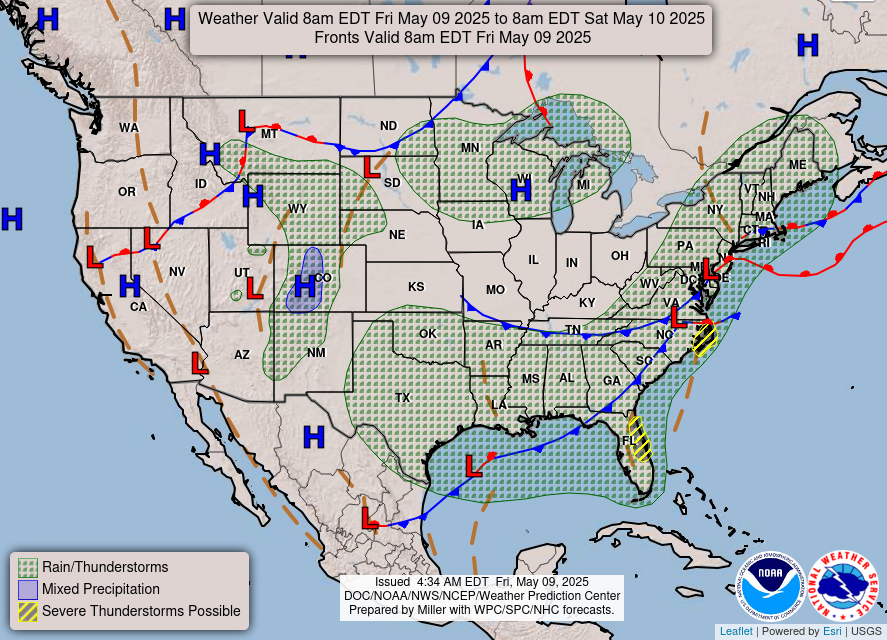
National Forecast Chart (Day 1)Source ↗
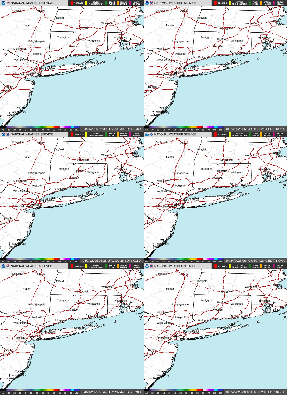
NY Metro Radar (KOKX)Source ↗

Northeast SatelliteSource ↗

Lightning (GOES GLM)Source ↗